You must turn on the browser location services to get the route from your current location to the sign, and the distance (as the crow flies) from your current location to the sign.
After activating location services, refresh the page.
On the sign:
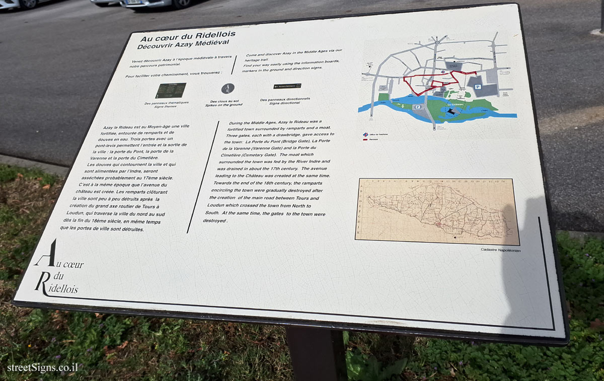
Au cœur du Ridellois Découvrir Azay Médiéval
[In the heart of Ridellois Discover Azay Médiéval]
Venez découvrir Azay à l’époque médiévale à travers notre parcours patrimonial.
Pour faciliter votre cheminement, vous trouverez : Des panneaux thématiques Signs themes
Des clous au sol Spikes on the ground
Des panneaux directionnels Signs directional
Azay le Rideau est au Moyen-âge une ville fortifiée, entourée de remparts et de douves en eau. Trois portes avec un pont-levis permettent l’entrée et la sortie de la ville: la porte du Pont, la porte de la Varenne et la porte du Cimetière. Les douves qui contournent la ville et qui sont alimentées par l’Indre, seront asséchées probablement au 17ème siècle. C’est à la même époque que l’avenue du château est créée. Les remparts clôturant la ville sont peu à peu détruits après la création du grand axe routier de Tours à Loudun, qui traverse la ville du nord au sud dès la fin du 18ème siècle, en même temps que les portes de ville sont détruites.
Come and discover Azay in the Middle Ages via our heritage trail.
Find your way easily using the information boards, markers in the ground and direction signs. Des panneaux thématiques Signs themes
Des clous au sol Spikes on the ground
Des panneaux directionnels Signs directional
During the Middle Ages, Azay le Rideau was a fortified town surrounded by ramparts and a moat. Three gates, each with a drawbridge, gave access to the town: La Porte du Pont (Bridge Gate), La Porte de la Varenne (Varenne Gate) and la Porte du Cimetière (Cemetary Gate). The moat which surrounded the town was fed by the River Indre and was drained in about the 17th century. The avenue leading to the Château was created at the same time. Towards the end of the 18th century, the ramparts encircling the town were gradually destroyed after the creation of the main road between Tours and Loudun which crossed the town from North to South. At the same time, the gates to the town were destroyed.
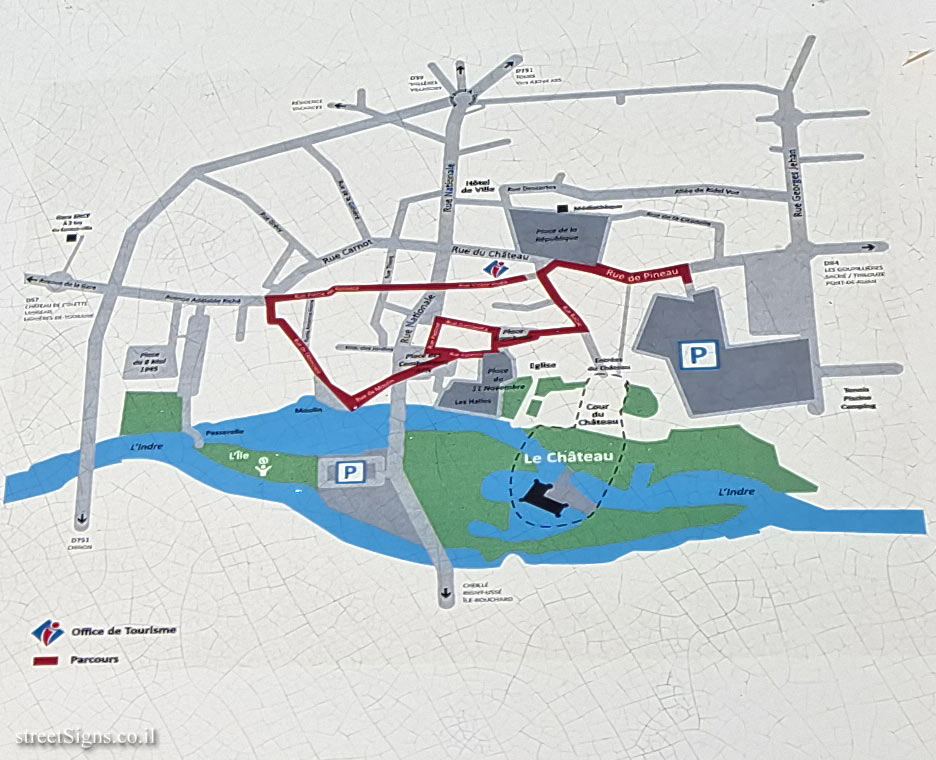
[Map of area]
[old map] Cadastre Napoléonien [Napoleonic Land Registry]
The map of the area, and the map from the beginning of the 19th century, the period of Napoleon’s reign in which a project was launched to map the lands in France (Cadastre Napoléonien) are presented here in an enlarged size Click for a larger image Click for a larger image
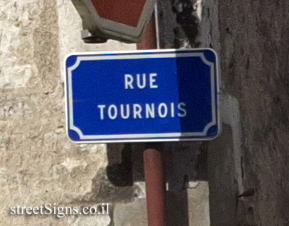
A point on the heritage route (spikes on the ground) can be found on the following sign Click for sign's details An example of the direction sign can be found in the following sign Click for sign's details


 Click for a larger image
 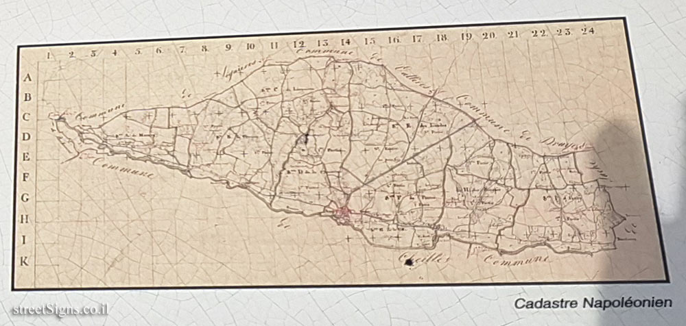 Click for a larger image
  Click for sign's details
  Click for sign's details